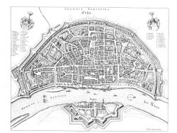
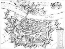
Frankfort 1846

$40.00
C. Joseph Meyer’s Hand-Atlas included this plan-panorama of nineteenth century Frankfort, which highlights the delineator’s skill with its extraordinary attention to detail.
Size: 14 x 15 1/2 inches. Color, Text-Weight Paper
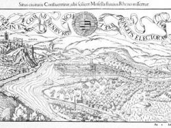
$40.00
C. Joseph Meyer’s Hand-Atlas included this plan-panorama of nineteenth century Frankfort, which highlights the delineator’s skill with its extraordinary attention to detail.
Size: 14 x 15 1/2 inches. Color, Text-Weight Paper