French Louisiana 1705 – Souvenir Series

$16.00
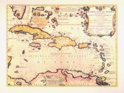
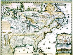
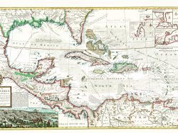
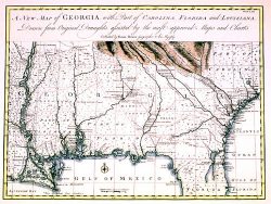
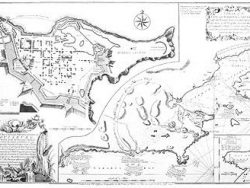
The French Colonial settlements along the Gulf Coast and the Mississippi River are shown here, in the second edition of a map by Nicholas de Fer, first published in 1701. This colorful image demonstrates the relationship of many of the early indigenous villages and European forts of the region.
Size: 12 3/4 x 17 3/4 inches. Color, Text-Weight paper