Quebec Province 1763 – Souvenir Series

$16.00
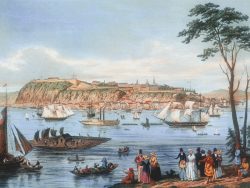
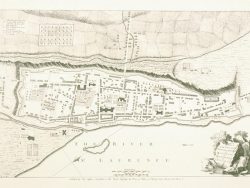
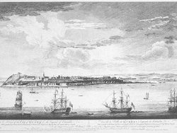
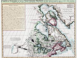
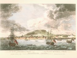
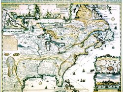
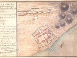
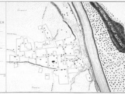
Inset plans of Montreal and Quebec and maps of the vicinity of Montreal and a portion of the St. Lawrence River provide additional detail on this important map. It was published in 1776 as one of the plates in William Faden’s “North American Atlas” but was based on earlier French surveys and those made by Captain Jonathan Carver after the Treaty of Paris.
Size: 15 x 21 1/2 inches – Color, Text-Weight paper