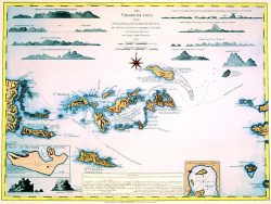
St. Thomas, Virgin Islands 1764 – Souvenir Series

$16.00
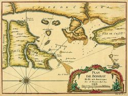
Nicely detailed and attractively colored, this map of the Island of St. Thomas in the Virgin Islands is reproduced from an engraving in Jacques Nicolas Bellin’s “Petit Atlas Maritime”. It is perhaps the only eighteenth century separate map of this Caribbean island.
Size: 13 1/4 x 21 1/4 inches – Color, Text-Weight Paper
You may also like…
-
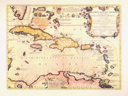
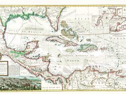
West Indies 1688 – Souvenir Series
$16.00 Add to cart -
Puerto Rico & the Leeward Islands 1794 – Souvenir Series
$16.00 Add to cart -
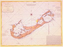
Bermuda 1797 – Souvenir Series
$16.00 Add to cart -
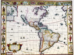
Western Hemisphere 1626 – Souvenir Series
$16.00 Add to cart -
Caribbean 1715 – Souvenir Series
$16.00 Add to cart -
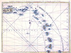
Virgin Islands 1797 – Souvenir Series
$16.00 Add to cart -
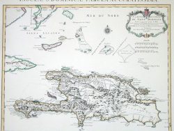
Hispaniola 1722 – Souvenir Series
$16.00 Add to cart