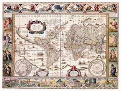
The World 1816

$155.00
The French cartographer A. H. Brue engraved this large-scale map of the World in 1816, basing the topography of North America on the latest reports by Lewis & Clark, Capt. George Vancouver, and other explorers. Unlike earlier World maps, the interior of Africa is free of fictitious geographic features and make-believe animals. Extraordinary detail is still evident, however, by the discoveries and sightings noted throughout the map. In particular, New Zealand is shown with both its French title and the original Maori names for each island. Printed as originally, on 4 sheets.
Size: 30 1/2 x 22 inches each – 44 x 62 inches when joined – Color, Cover-stock Paper