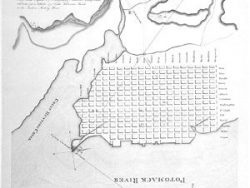
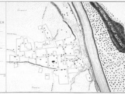
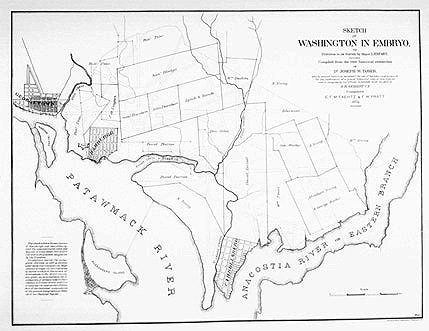
Washington, D.C. 1791-1874
$40.00
The boundaries of the plantations on the site of the national capital are shown as they existed in 1791 before the land was deeded to President Washington. The features of the plan prepared by Pierre L’Enfant also appear in this map published in 1874.
Size: 15 1/2 x 20 1/4 inches – Black & White, Cover-stock Paper