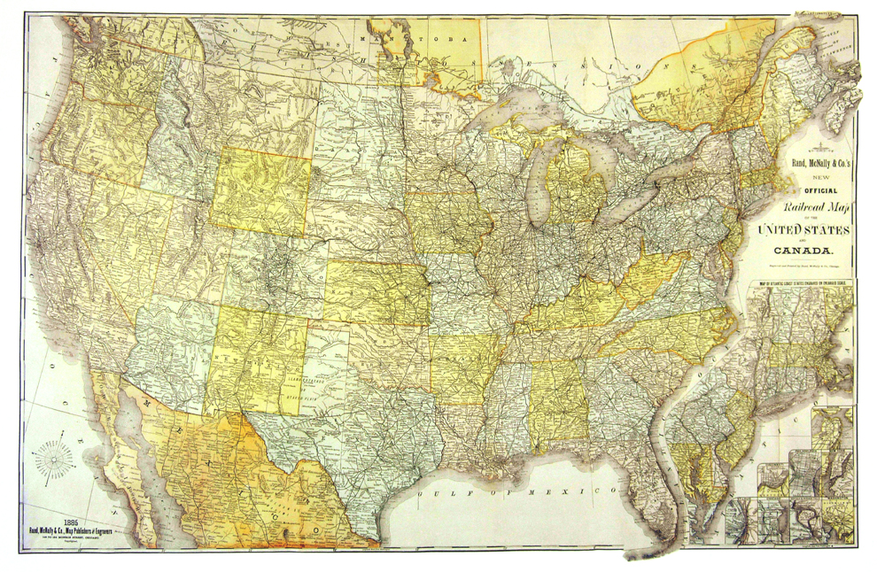
United States 1885
$55.00
This large railroad map includes virtually every stop along the major lines across the country. In a period when the standard gauge and steel rail were making an enormous difference in transcontinental shipping, Rand McNally captured the entire system just before passage of the 1887 Interstate Commerce Act, subjecting it to Federal regulation. Reproduced under license from Rand McNally.
Size: 21 1/2 x 33 1/2 inches. Color, Text-Weight Paper


