Washington, D.C. 1792 – Souvenir Series

$16.00
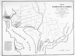
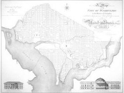
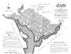
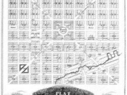
This splendid engraving was the first large official map of the national capital. It records the plan drawn by Pierre L’Enfant and modified by Andrew Ellicott and Thomas Jefferson. The strong geometry of the design and the clarity of the engraving combine to make this one of the most striking of American cartographic prints.
Size: 15 3/4 x 21 inches. Black & White, Text-Weight Paper