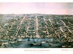
Washington, D.C. 1865 – Souvenir Series

$16.00
One of the finest examples of American cartography in the post-Civil War period was the “Atlas to Accompany the Official Records of the Union and Confederate Armies”, published in several volumes in the early 1890s. The atlas includes this 1865 map, Defenses of Washington, which highlights all the roads used for military and evacuation purposes, and identifies major forts, towns, settlements, railroads, and even farmsteads listed by owners’ name. Over 50 forts are show, including Ft. Stevens, Ft. Totten, Ft. Foote, and others. Detailed and fascinating.
Size: 15 1/4 x 19 3/4 inches. Color, Text-Weight Paper