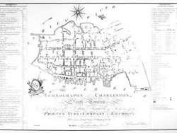
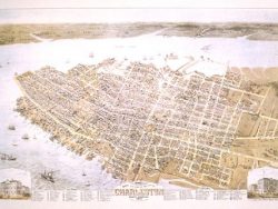
Charleston 1788 – Museum Series

$35.00
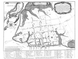
This rare engraving was published in London in 1790 from surveys by Edmund Petrie two years earlier. It shows the location of every structure and wharf, and the legends name and give the width of streets, and list all public buildings.
The museum quality edition of this plan is printed on a heavy paper and in a large size to highlight its lines and shading. Reduced in size from the original.
Size: 19 1/2 x 27 1/4 inches. Black & White, Cover-stock Paper
You may also like…
-
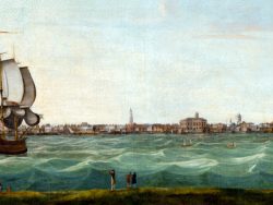
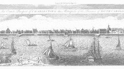
Charleston, South Carolina 1774
$16.00 Add to cart -
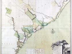
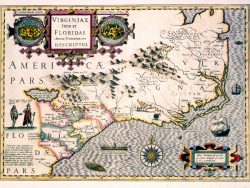
South Carolina and Georgia 1754
$55.00 Add to cart -
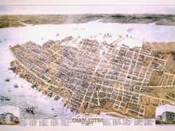
Charleston 1872 – Museum Series
$45.00 Add to cart -
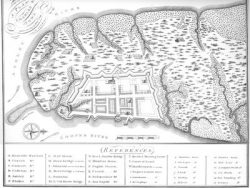
Charleston, South Carolina 1704
$32.50 Add to cart -
Charleston, South Carolina 1739
$35.00 Add to cart -
Charleston, South Carolina 1739-1762
$32.50 Add to cart -
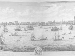
Charleston, South Carolina 1737-1739
$80.00 Add to cart