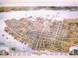
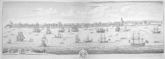
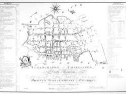
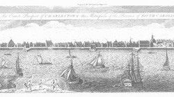
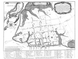
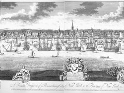
Charleston, South Carolina 1737-1739
$90.00
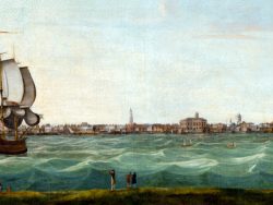
William Burgis’s two-sheet view of Charleston is among the most detailed views of the early colonial city. Seen from the Cooper River, the waterfront is marked by Granville’s bastion at the extreme left and Craven’s bastion on the right, with such landmarks as St. Philip’s Church on the skyline. Set of two sheets.
Size: 19 1/2 x 54 1/2 inches when joined. Black & White, Cover-stock Paper
You may also like…
-
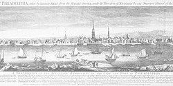
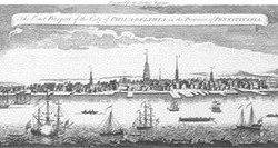
Philadelphia 1754
$135.00 Add to cart -
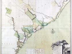
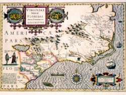
South Carolina and Georgia 1754
$65.00 Add to cart -
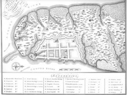
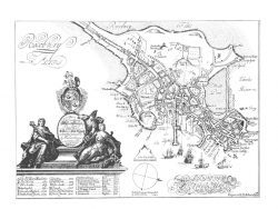
Charleston, South Carolina 1704
$37.50 Add to cart -
Charleston 1788 – Collectors Series
$40.00 Add to cart -
Charleston, South Carolina 1774
$20.00 Add to cart -
Charleston, South Carolina 1739-1762
$37.50 Add to cart -
Charleston, South Carolina 1739
$40.00 Add to cart -
New York 1719
$135.00 Add to cart -
Charleston 1872 – Collectors Series
$50.00 Add to cart -
Boston 1743
$110.00 Add to cart