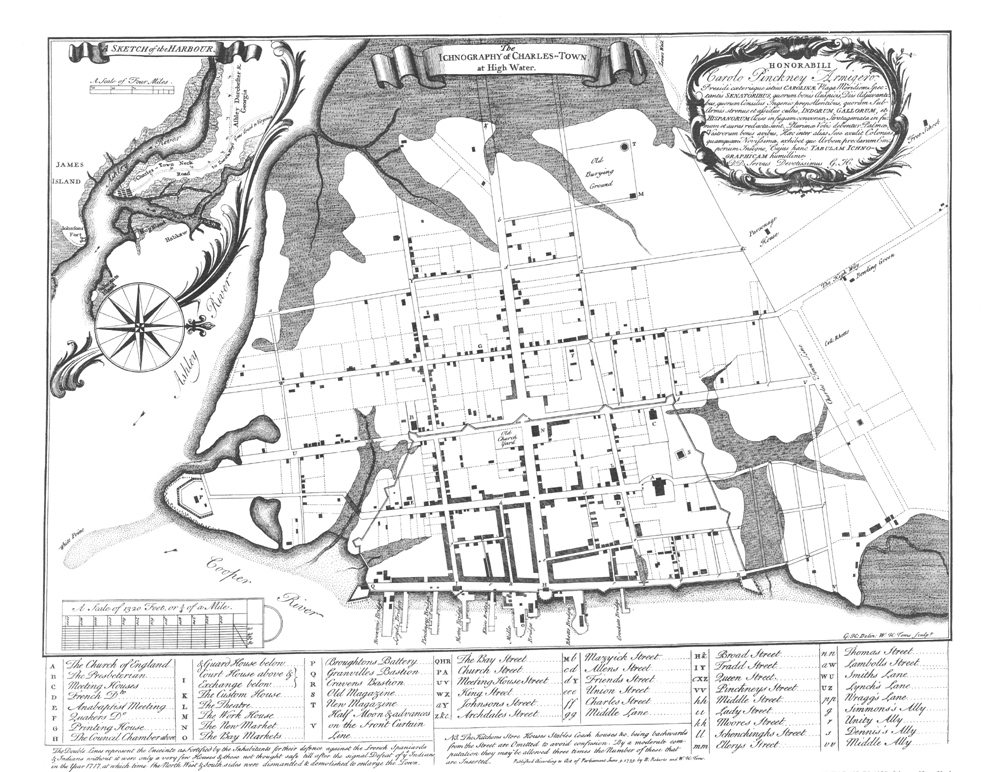
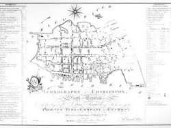
Charleston, South Carolina 1739
$40.00
In 1717 Charleston was enlarged by the creation of several new streets and a civic square to the west of the original settlement. This plan of 1739, published by Roberts and Toms in London, shows the city early in its period of expansion. An inset map locates the site, and the legend at the bottom identifies all the important buildings.
Size: 15 x 18 1/2 inches. Black & White, Cover-stock Paper
You may also like…
-
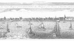
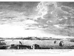
Charleston, South Carolina 1739-1762
$37.50 Add to cart -
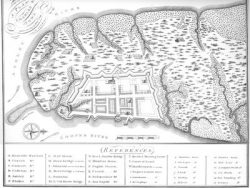
Charleston, South Carolina 1704
$37.50 Add to cart -
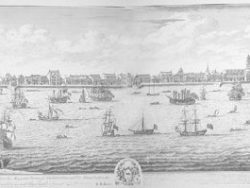
Charleston, South Carolina 1737-1739
$90.00 Add to cart -
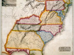
Southern United States 1817 – Souvenir Series
$20.00 Add to cart -

Charleston, South Carolina 1774
$20.00 Add to cart -
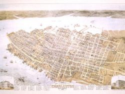
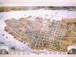
Charleston 1872 – Collectors Series
$50.00 Add to cart -
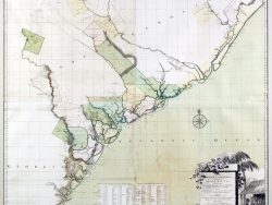
South Carolina and Georgia 1754
$65.00 Add to cart -
Charleston 1788 – Collectors Series
$40.00 Add to cart